China prepares for submarine warfare against the US Navy by deploying 42 ships and hundreds of oceanic sensors.
News Mania Desk/ Piyal Chatterjee/30th March 2026
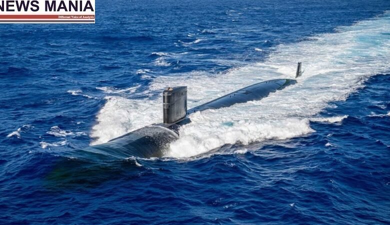
The multi-year initiative improves underwater navigation, concealment, and sonar performance in strategically contested maritime zones by combining seabed mapping and real-time environmental monitoring. By enabling accurate sonar condition prediction and optimized submarine operations in areas utilized by US and allied naval forces, this new capability directly strengthens China’s anti-submarine warfare and operational framework. It spans important chokepoints and naval corridors close to Taiwan, Guam, and the Malacca Strait. Through exact understanding of how sound propagates in certain underwater environments, these data allow submarines to travel safely, remain hidden using geography and acoustic conditions, and identify or escape opposing submarines more successfully.
It was reported on March 24, 2026, that China’s ocean-floor mapping efforts in the Pacific, Indian, and Arctic oceans are the result of a concerted, multi-year effort to produce comprehensive information about undersea conditions that may be used directly for submarine operations against the warships of the United States and its allies.
With the help of hundreds of deployed sensors placed throughout important maritime corridors, the extensive program tracks at least 42 research vessels over a period of more than five years. Chokepoints and routes close to important naval installations are among the locations where submarine transit, detection, and interception are operationally significant. Submarine movement and sonar performance are directly impacted by seabed geography, water temperature, salinity, and current patterns, all of which are included in the constantly updated environmental database.
While civilian research projects like seabed surveys and climate studies are carried out concurrently, the same data can be used directly for military objectives. This illustrates China’s comprehensive strategy for supporting underwater operations, which combines oceanography, mapping, and surveillance.
Underwater combat requires both static topography knowledge and dynamic environmental factors, which are provided by the generated datasets. The Dong Fang Hong 3, a general-purpose scientific research vessel, is a prime example. During 2024 and 2025, it carried out several survey missions in three different operational zones: the waters close to Taiwan, the area around Guam, and key regions of the Indian Ocean.