
UN Map Shows Arunachal Pradesh, Aksai Chin With Competing Indian and Chinese Lines
News Mania Desks/ Piyal Chatterjee/ 6th September 2026

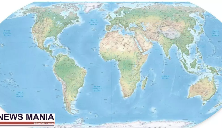
A new United Nations world map has drawn attention in India after depicting Arunachal Pradesh and Aksai Chin with separate markings representing Indian and Chinese territorial claims. The map, published on July 1, 2026, shows the two regions between what are described as an “Indian Line” and a “Chinese Line”, highlighting the competing territorial positions of New Delhi and Beijing.
The depiction has assumed significance amid the longstanding border dispute between India and China. Arunachal Pradesh is administered by India but is claimed by China, which refers to the region as “Zangnan” or southern Tibet. Aksai Chin, meanwhile, is controlled by China but is claimed by India as part of the Union Territory of Ladakh.
The UN map also uses a dotted line to indicate the Line of Control in Jammu and Kashmir and provides an explanatory note regarding its disputed nature. However, the report pointed out that a similar explanation does not appear alongside the Indian and Chinese lines shown around Arunachal Pradesh and Aksai Chin.
The map’s publication comes against the backdrop of India’s support for a UN resolution concerning the importance of accurate and equitable cartographic representation. New Delhi, however, has clarified that its backing for the resolution should not be interpreted as acceptance of any particular map or territorial depiction.
India has consistently maintained that its sovereign territory must be represented in accordance with its official position. The Ministry of External Affairs has stressed that areas including Arunachal Pradesh, Jammu and Kashmir and Ladakh form an integral part of India and that attempts to present them otherwise are unacceptable.
Rather than depicting the disputed territories solely according to one country’s position, the map appears to distinguish between the respective claims through separate boundary markings. It is also noted the map’s depiction of the Kalapani-Lipulekh-Limpiyadhura area, which is disputed between India and Nepal. The region appears to be shown under Indian control, a representation that differs from Nepal’s territorial claim.
The map comes at a time when territorial and boundary issues remain an important component of India-China relations. Both countries have held several rounds of diplomatic and military discussions to address tensions along their disputed frontier.
The UN’s cartographic representation has consequently renewed focus on the sensitivity surrounding disputed borders in South Asia. For India, the distinction between acknowledging competing claims and accepting another country’s territorial position remains particularly important. The government has repeatedly maintained that maps should accurately reflect India’s established territorial position and has objected to representations that undermine its sovereignty.